Heartland Geospatial
GIS, Remote Sensing, & Spatial Analytics
GIS, Remote Sensing, & Spatial Analytics
Services
Hartland Geospatial LLC does custom GIS work including GIS & geoprocessing, web GIS, hydrologic modeling, and LiDAR data processing, and so much more. Please contact us if you have questions.
GIS & Geoprocessing
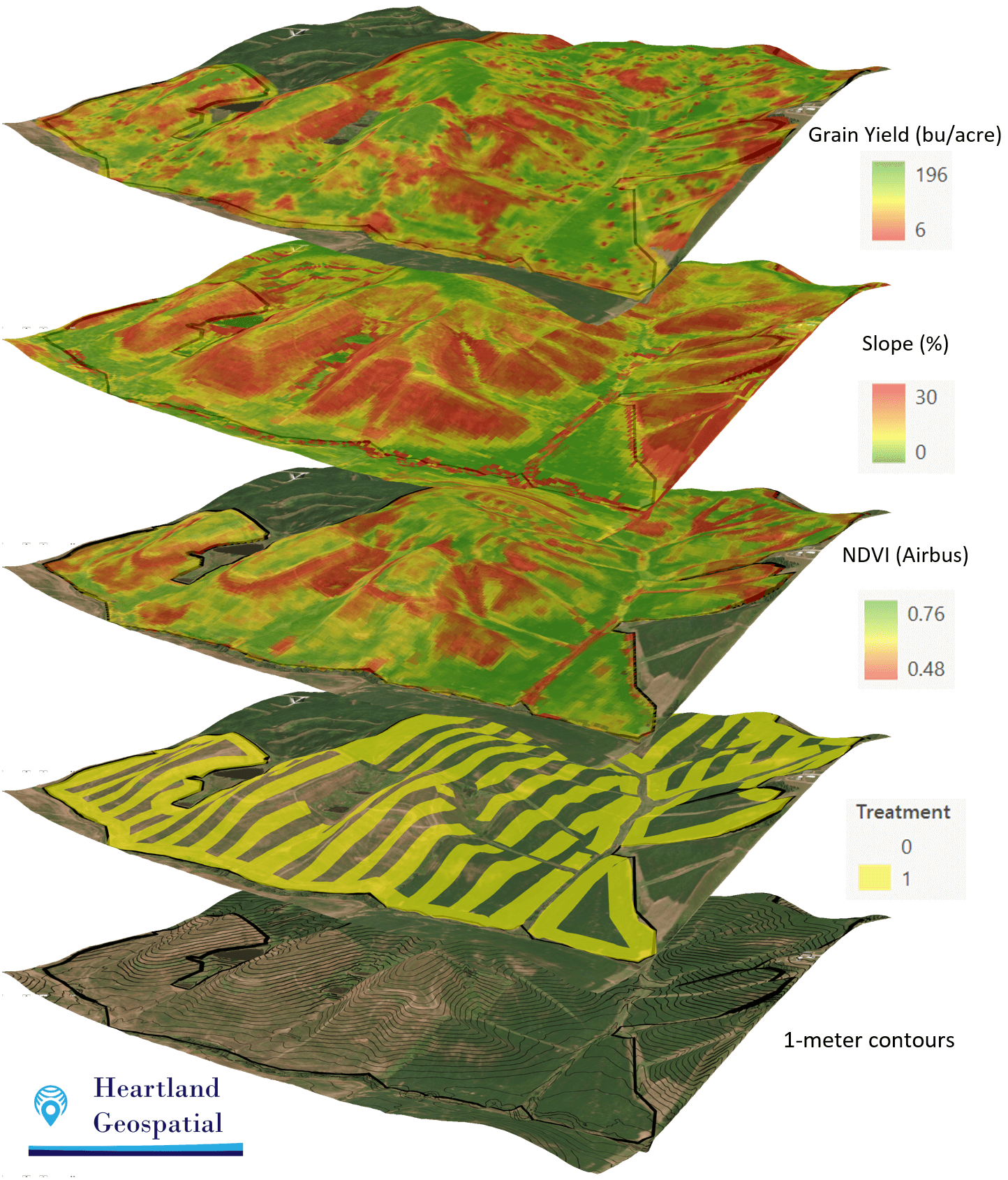

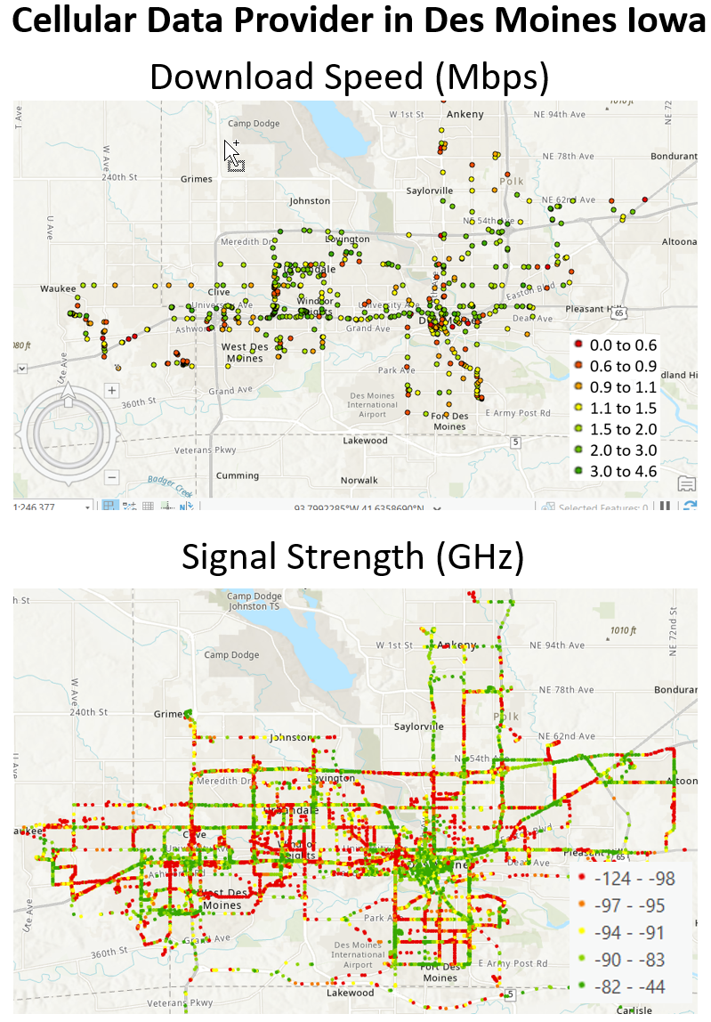
Aggregate and Integrate Complex GIS Layers to solve problems using ArcGIS Pro, ArcMap, and QGIS. Automate complex workflows with ModelBuilder, Python, and FME.
Web GIS
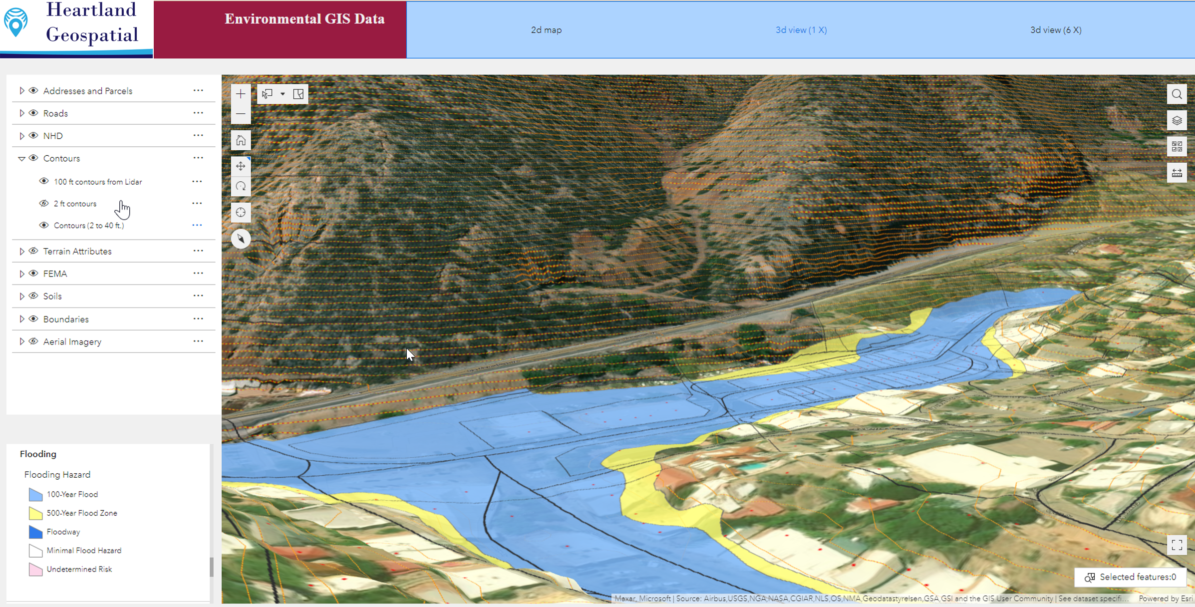
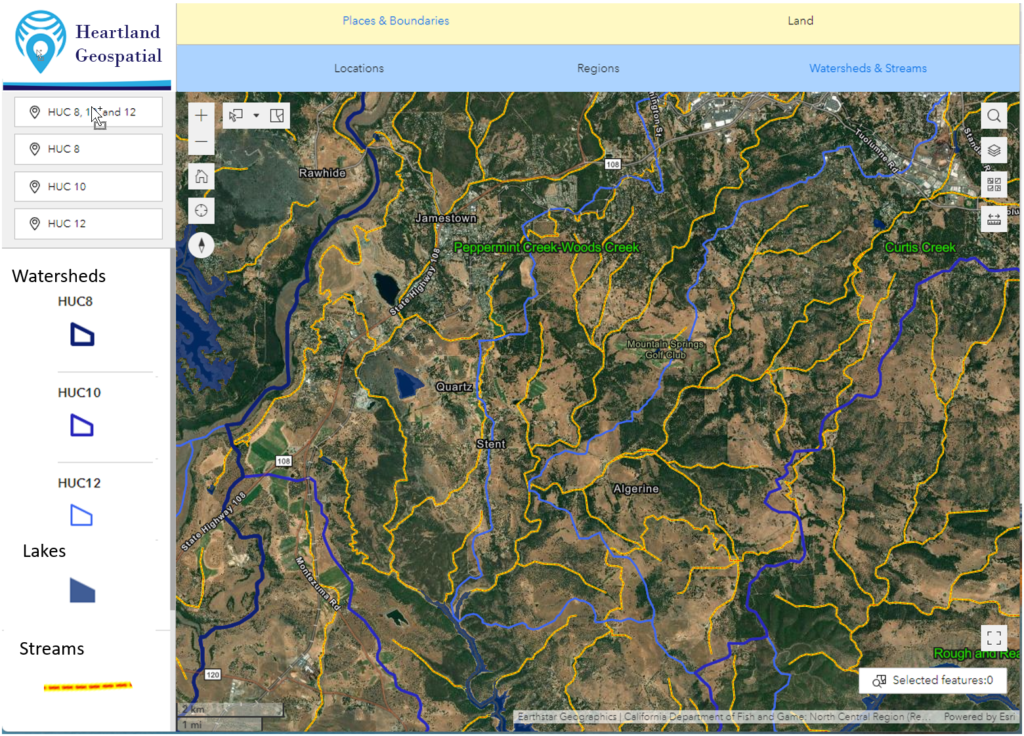
Build highly responsive 2D and 3D web GIS portals including backend rest services and front end portals that work on desktops, phones, and tablets.
Hydrologic Modeling
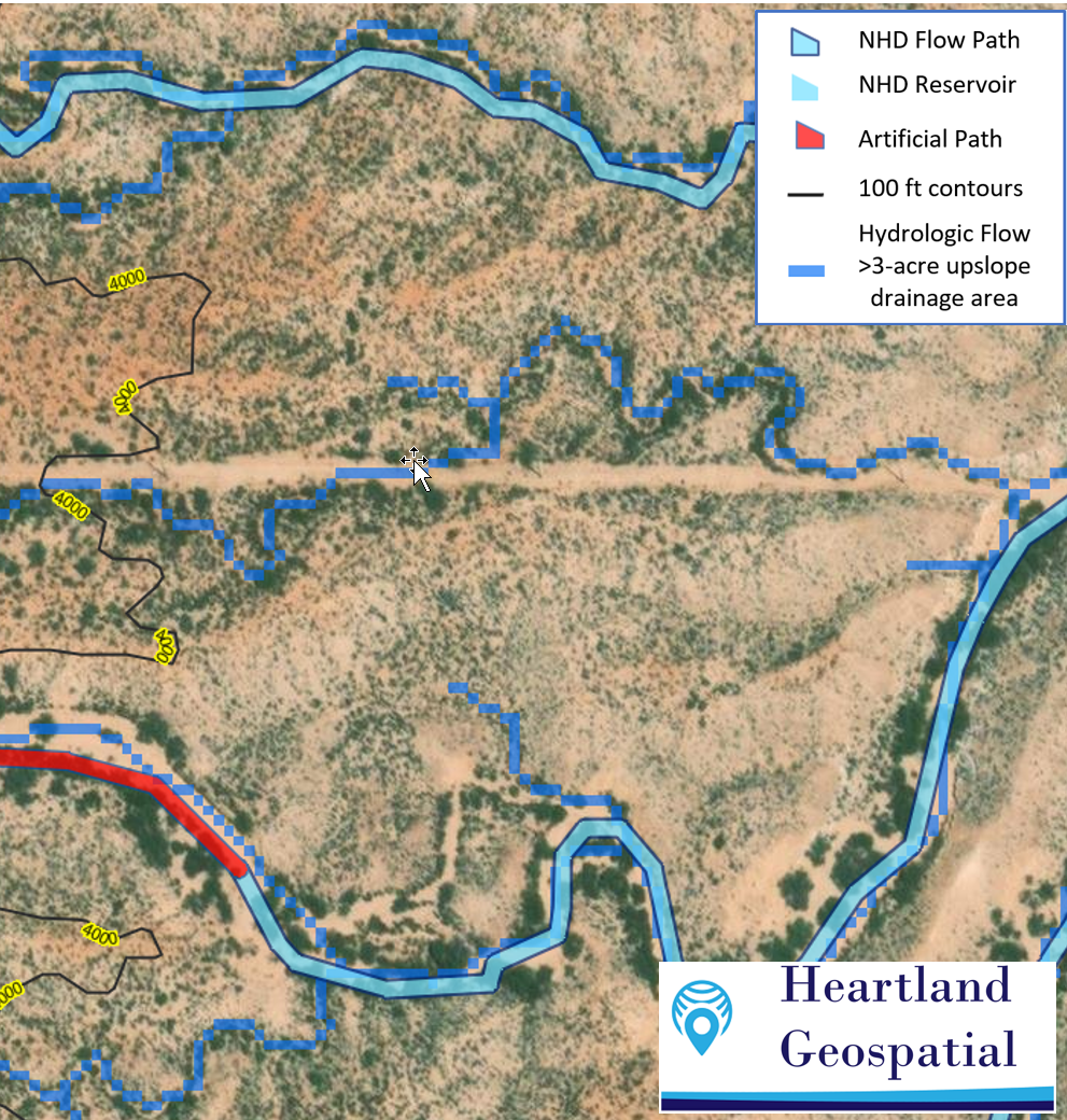
Build single or multidirectional flow models that show where water will flow across landscapes using LiDAR, drone, and aerial derived covering enormous areas.
Business Intelligence
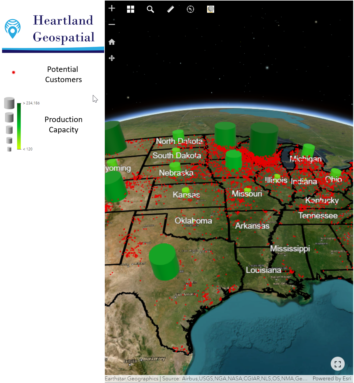
Build spatial business intelligence portals that puts the information you need to grow your business at your fingertips.
LiDAR Processing
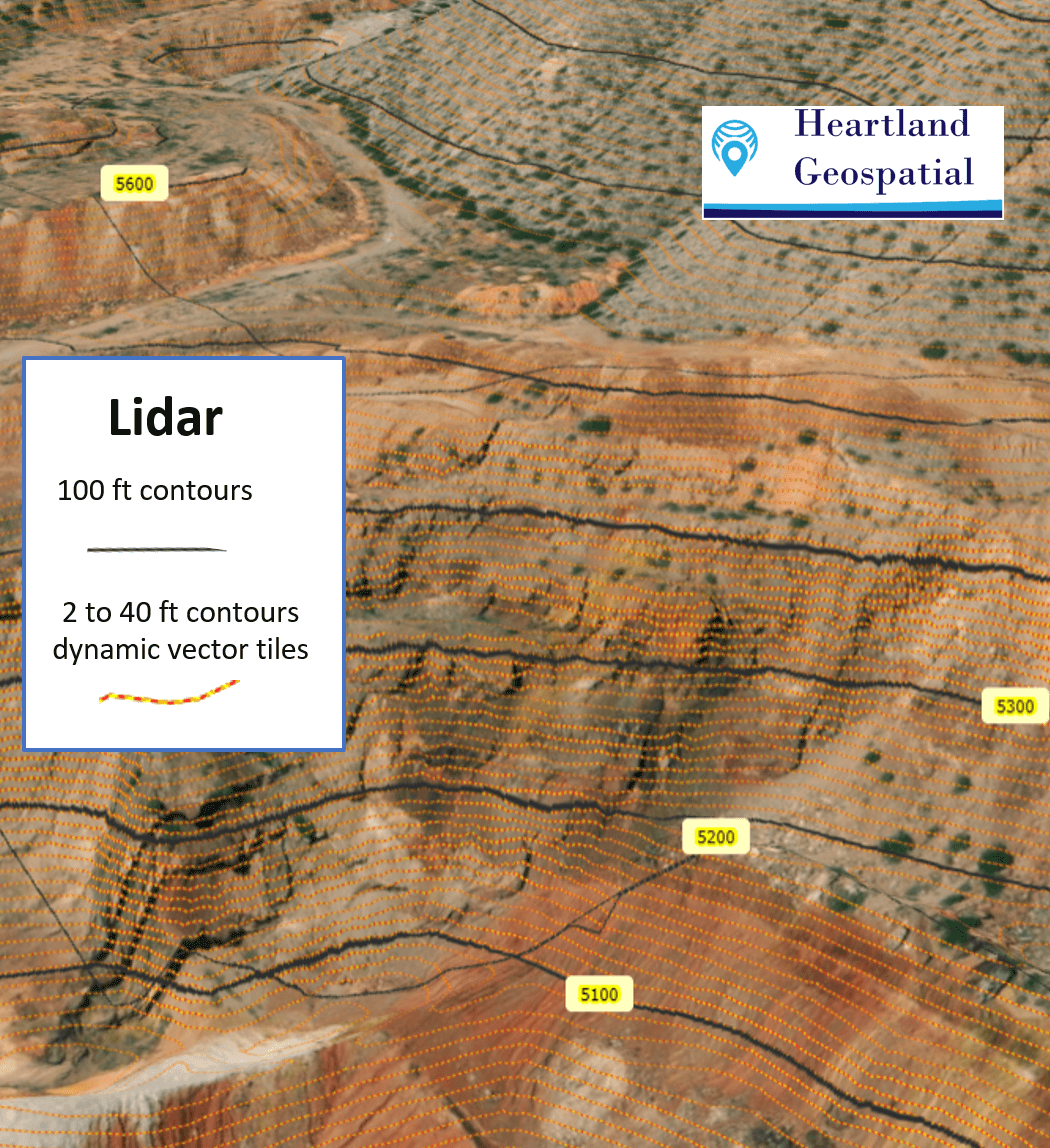
LiDAR Data Processing and creation of back end rest services including dynamic vector tiles.
Google Earth

Build 3D visualizations with Google Earth Pro and Google Earth Online.
ABOUT US
We build decision making tools.
Whether you are in sales, real estate, environmental science, telecommunications, agriculture, we will help you build custom solutions that will propel your organization forward.
